
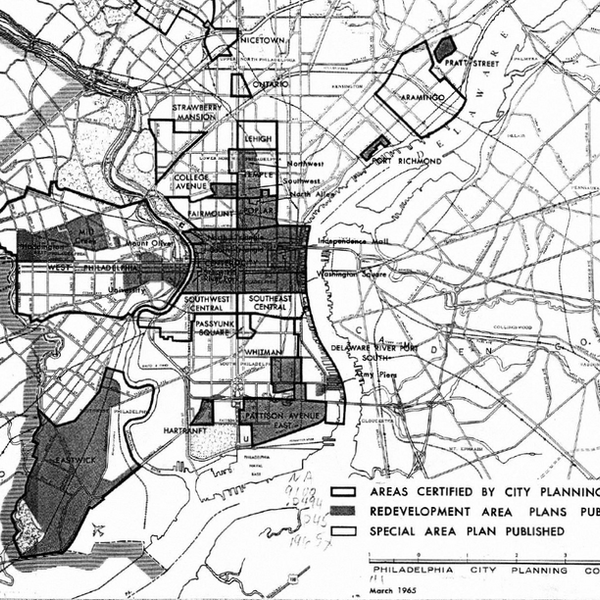
The Evolution of Urban Renewal
This project uses historical aerial imagery combined with deep learning computer vision techniques to track the physical transformation of neighborhoods subject to urban renewal programs across the United States. We quantify the scale of demolition, reconstruction, and displacement that occurred during one of the most consequential housing policy eras in American history.
Publications
New methods for old questions: Predicting historical urban renewal areas in the United States
Xu, W.
Environment and Planning B: Urban Analytics and City Science, 2024
Mid-20th century urban renewal in the United States was transformational for the physical urban fabric and socioeconomic trajectories of neighborhoods and its displaced residents. However, there is little research that systematically investigates its impacts due to incomplete national data.
This article uses a multiple-model machine learning method to discover 204 new Census tracts that were likely sites of federal urban renewal, highway construction related demolition, and other urban renewal projects between 1949 and 1970. It also aims to understand the factors motivating the decision to “renew” certain neighborhoods.
I find that race, housing age, and homeownership are all determinants of renewal. Moreover, by stratifying the analysis along neighborhoods perceived to be more or less risky, I also find that race and housing age are two distinct channels that influence renewal.
https://doi.org/10.1177/23998083241260778