
The Urban Data Research Lab uses novel big data and spatial data science to understand urban inequality at the scale of the neighborhood in order to inform policy and opportunities for more equitable cities.
Learn more about our primary areas of research▾
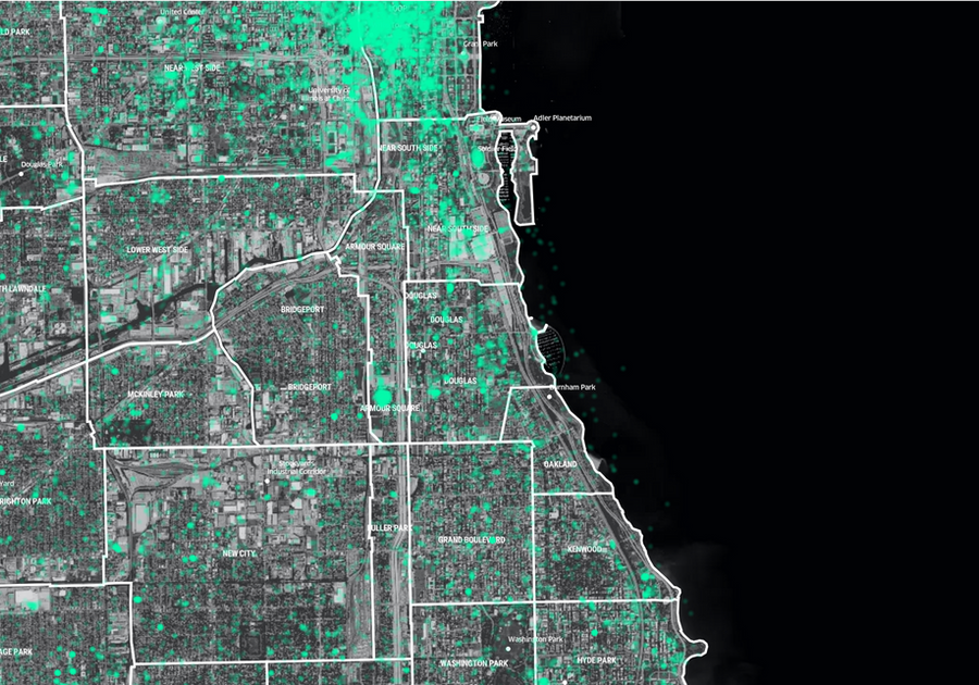
Measuring Neighborhood Dynamics with Big Data
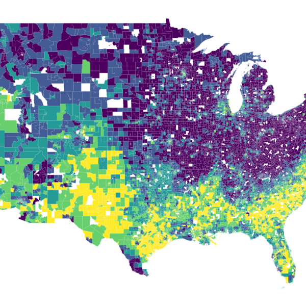
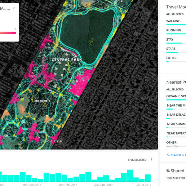
Much of how researchers, advocates, and policy-makers understand the geography of opportunity is largely based on the residential neighborhood context. To study neighborhood dynamics, especially at a large scale, we have traditionally relied on administrative data such as those produced by the U.S. Census Bureau. This area of research aims to think, measure, and generate data products to describe the wide range of activities and socio-spatial dynamics that make up how people experience their social and environmental context and how these can change across the day or seasonally. We investigate the possibilities of using novel, unstructured data sources such as newer iterations of cell phone location data, in a ground-truthed and statistically rigorous manner, to shift how we think about context in a more holistic, representative way.
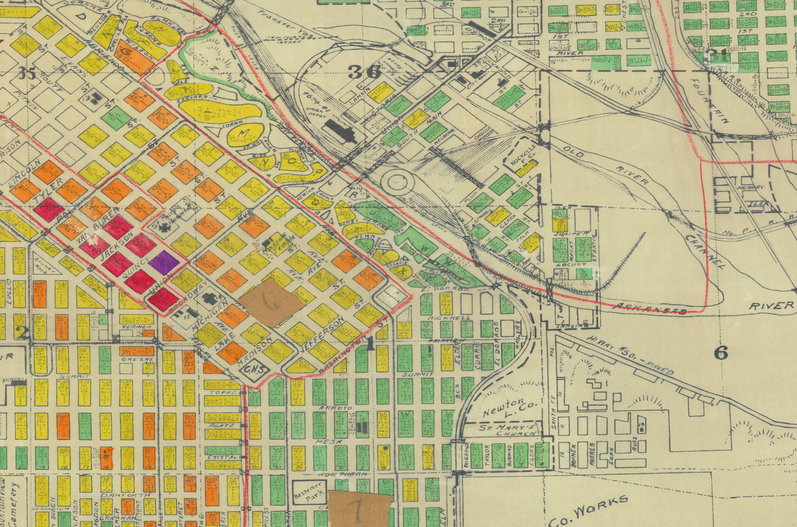
Tracing the Legacies of 20th-Century Housing and Urban Policy
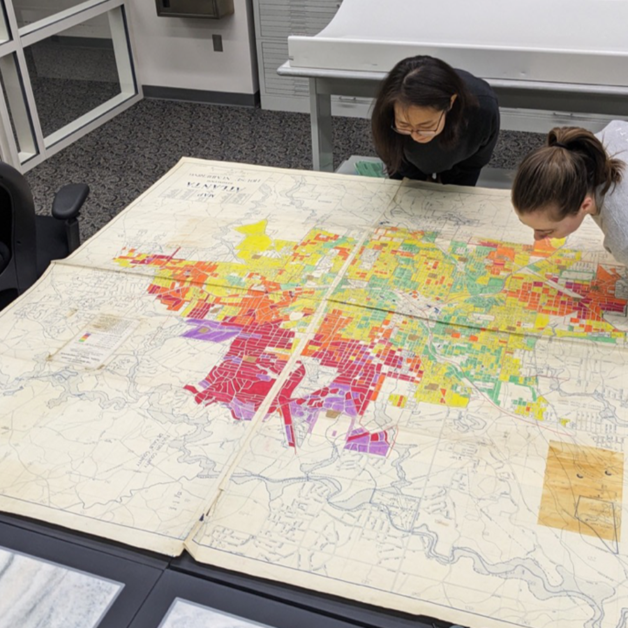
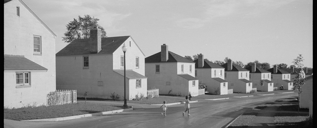
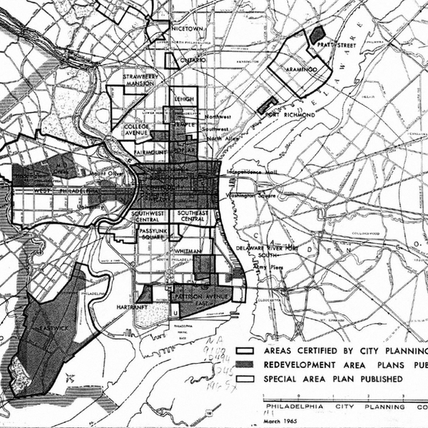
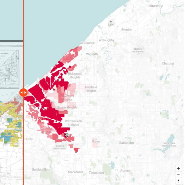
Public policy in the U.S. is at a critical turning point where the need to address historical and ongoing housing discrimination calls for more nuanced understandings of longstanding spatial inequalities and their impacts on residential segregation and stratification. We study large-scale historical housing discrimination through such as practices, federal level redlining and urban renewal in the United States, to understand how historical housing policies, practices, institutions, and technologies have influenced urban inequality.
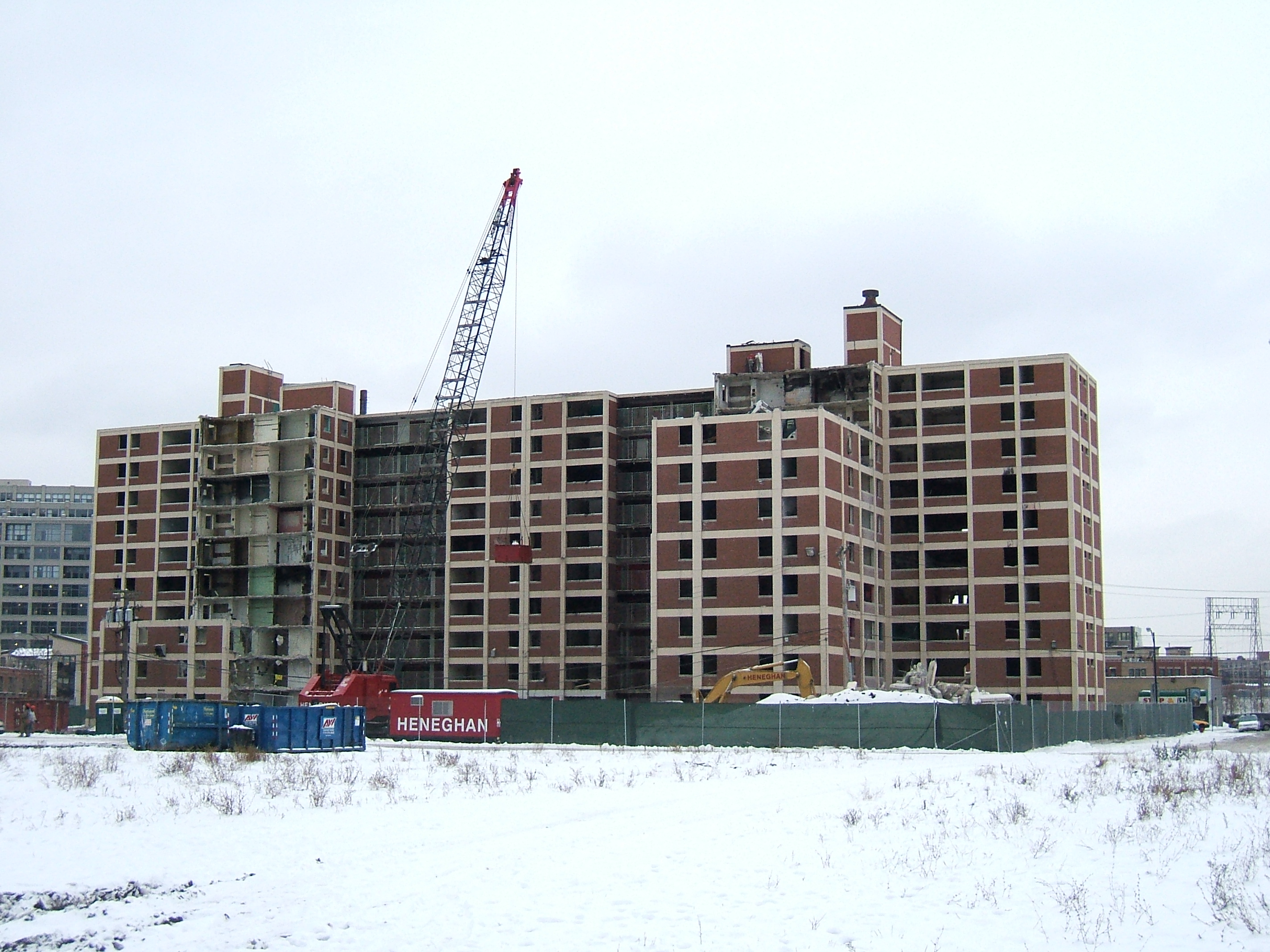
Cabrini-Green, Chicago. Photo by LHOON, CC BY-SA 2.0
Evaluating the Effectiveness of Housing Policy with Novel Data
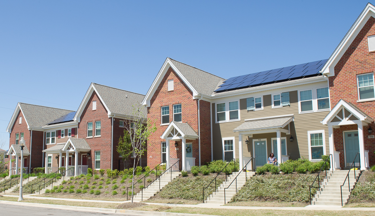
Housing policy, from inclusionary zoning to voucher programs to public housing redevelopment, is often designed around assumptions about how households move, integrate, and access opportunity. This area of research draws on new data sources, including anonymized human mobility data, historical administrative records, and novel residential mobility data, to test whether these programs achieve their intended effects. We ask whether siting decisions actually produce integration, whether residents displaced by redevelopment programs go on to attain higher-opportunity neighborhoods, and how the geography of policy exposure shapes long-run outcomes.
NEWS
July 2026
Welcome, Saad!
Saad Mohammad Abrar is joining the lab as a postdoctoral scholar. Coming from a Ph.D. in Computer Science at the University of Maryland, his work asks whether mobility and behavioral data — and the models built from them — are actually reliable, fair, and valid for high-stakes public decision-making.
July 2026
New Paper in Nature: New Deal mortgage programs benefited white borrowers disproportionately
Our paper with Kate Thomas, Thomas Storrs, and Jacob Faber came out in Nature. Using newly digitized archival records from FHA and VA mortgage programs, we show just how lopsidedly these New Deal-era programs channeled homeownership and wealth toward white borrowers.
July 2026
New Paper in Housing Policy Debate: Where did they go after HOPE VI?
Our HOPE VI paper came out in Housing Policy Debate. Using individual residential histories from 1980 to 2021, we follow displaced Chicago public housing residents to see where they actually ended up — and whose promises of "better" neighborhoods held up over time.
July 2026
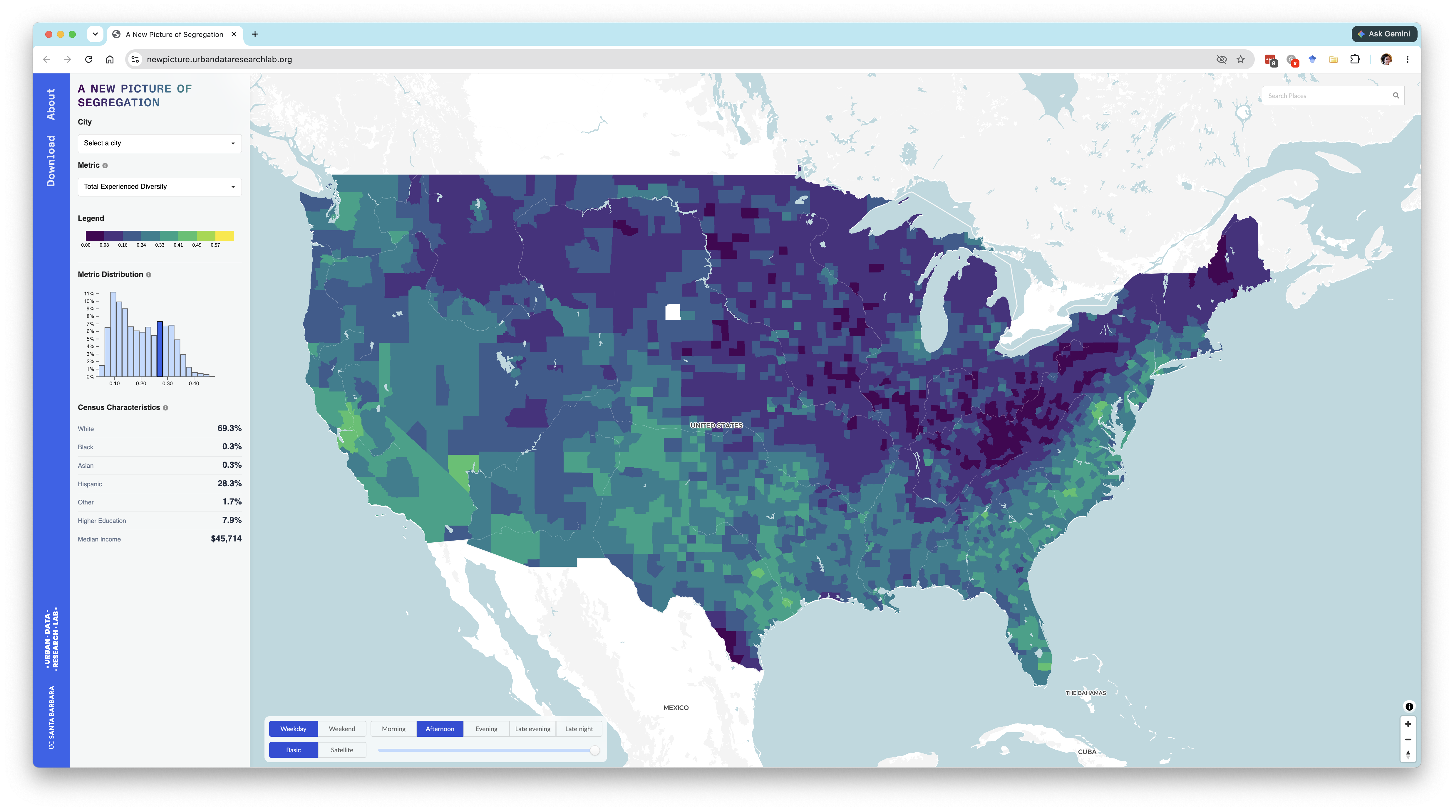
A New Picture of Segregation is live
Our interactive site for the National Experienced Racial-Ethnic Diversity (NERD) dataset just went live. Explore where and when people across the U.S. actually encounter diversity, tract by tract.
July 2025
New home at UC Santa Barbara
I joined the Department of Geography at UC Santa Barbara this summer as Assistant Professor in GIScience and Urban Data Science!
August 2024
NSF Grant: Measuring Integration in Affordable Housing with Location Data
Bernadette Baird-Zars and I were awarded a $400,000 NSF grant to test whether affordable housing in high-opportunity neighborhoods actually produces the integration policy assumes.
PROJECTS
PUBLICATIONS
New-deal mortgage programmes benefited white borrowers disproportionately
Thomas, K., Storrs, T., Xu, W., Faber, J.
Nature, 2026
https://doi.org/10.1038/s41586-026-10850-8Where Did They Go After HOPE VI? A Longitudinal Study of Long-Term Neighborhood Attainment Outcomes in Chicago
Xu, W., Lee, Y., Lei, Y., Zhou, Z., Zhang, Y., Freeman, L.
Housing Policy Debate, 1–28, 2026
https://doi.org/10.1080/10511482.2026.2688182A research agenda for GIScience in a time of disruptions
Nelson, T., Frazier, A.E., Kedron, P., Dodge, S., Zhao, B., Goodchild, M., Murray, A., Xu, W., et al.
International Journal of Geographical Information Science, 39(1), 1–24, 2025
https://doi.org/10.1080/13658816.2024.2405191Rethinking GIScience education in an age of disruptions
Frazier, A.E., Nelson, T., Kedron, P., Shook, E., Dodge, S., Murray, A., Xu, W., et al.
Transactions in GIS, 29(2), 2025
https://doi.org/10.1111/tgis.70048An intersectional analysis of climate risk and susceptibility among urban schools across 20 major US cities
Rahai, R., Evans, G.W., Wells, N.M., Xu, W.
Urban Climate, 64, 102620, 2025
https://doi.org/10.1016/j.uclim.2025.102620Measuring Residential Mobility: A Historical Overview of Novel Data and Methodological Approaches
Freeman, L., Lee, Y., Lei, Y., Xu, W.
Journal of Planning Literature, 2025
https://doi.org/10.1177/08854122251382934The racial composition of road users, traffic citations, and police stops
Xu, W., Smart, M., Tilahun, N., Askari, S., Dennis, Z., Li, H., Levinson, D.
Proceedings of the National Academy of Sciences, 121(24), 2024
https://doi.org/10.1073/pnas.2402547121An experienced racial-ethnic diversity dataset in the United States using human mobility data
Xu, W., Wang, Z., Attia, N., Attia, Y., Zhang, Y., Zong, H.
Scientific Data, 11(1), 638, 2024
https://doi.org/10.1038/s41597-024-03490-yNew methods for old questions: Predicting historical urban renewal areas in the United States
Xu, W.
Environment and Planning B: Urban Analytics and City Science, 2024
https://doi.org/10.1177/23998083241260778The Where, When, and How of Diversity: How Space, Time, and Incomes Configure the Racial-Ethnic Composition of Networks
Xu, W.
Annals of the American Association of Geographers, 114(8), 2024
https://doi.org/10.1080/24694452.2024.2339443A National Zoning Atlas to Inform Housing Research, Policy, and Public Participation
Xu, W., Markley, S., Bronin, S.C., Drogaris, D.
Cityscape, 25(3), 55–72, 2023
https://www.huduser.gov/portal/periodicals/cityscape/vol25num3/article3.htmlWhere did redlining matter? Regional heterogeneity and the uneven distribution of advantage
Xu, W.
Annals of the American Association of Geographers, 113(8), 1939–1959, 2023
https://doi.org/10.1080/24694452.2023.2205514https://github.com/iamwfx/redlining-regionalLegacies of institutionalized redlining: a comparison between speculative and implemented mortgage risk maps in Chicago, Illinois
Xu, W.
Housing Policy Debate, 32(2), 249–274, 2022
https://doi.org/10.1080/10511482.2020.1858924https://github.com/iamwfx/redlining_chicagoThe contingency of neighbourhood diversity: Variation of social context using mobile phone application data
Xu, W.
Urban Studies, 59(4), 851–869, 2022
https://doi.org/10.1177/00420980211019637https://github.com/iamwfx/cell_data_diversityHousing Markets, Residential Sorting, and Spatial Segregation
Tan, S.B., Xu, W., Williams, S.
University of Pennsylvania Press, 2022
https://doi.org/10.9783/9781512823028-004Is "Regulation from Below" Possible?
Xu, W.
Public Books, 2022
https://www.publicbooks.org/community-organizing-and-financialization-of-housing/Ghost cities of China: Identifying urban vacancy through social media data
Williams, S., Xu, W., Tan, S.B., Foster, M.J., Chen, C.
Cities, 94, 275–285, 2019
https://doi.org/10.1016/j.cities.2019.05.006A roundtable discussion: Defining urban data science
Kang, W., Oshan, T., Wolf, L.J., Boeing, G., Xu, W., et al.
Environment and Planning B: Urban Analytics and City Science, 46(9), 1756–1768, 2019
https://doi.org/10.1177/2399808319882826Urban explorations: Analysis of public park usage using mobile GPS data
Xu, W.
arXiv preprint, 2018
https://arxiv.org/abs/1801.01921COURSES
PEOPLE
Wenfei Xu is an Assistant Professor in GIScience and Urban Data Science in the Department of Geography at UC Santa Barbara, where she directs the Urban Data Research Lab and holds faculty affiliations with the Center for Spatial Studies and Data Science and the Broom Center for Demography. Her research uses novel big data and spatial data science to understand urban inequality at the neighborhood scale in order to inform housing policy and opportunities for more equitable cities. Her work has been published in the Proceedings of the National Academies of Science, Annals of the Association of American Geographers, Urban Studies, Nature Scientific Data, and Housing Policy Debate, and has been funded by the NSF, the Russell Sage Foundation, and the Washington Center for Equitable Growth. Prior to joining UCSB, she was Assistant Professor in the Department of City and Regional Planning at Cornell University (2022–2025) and a Postdoctoral Fellow at the University of Chicago's Mansueto Institute for Urban Innovation and Center for Spatial Data Science (2022). She holds a Ph.D. in Urban Planning from Columbia University, an MCP and M.Arch from MIT, and a B.A. in Economics from the University of Chicago.
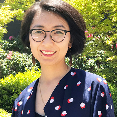
Wenfei Xu
Director, Urban Data Research Lab
People
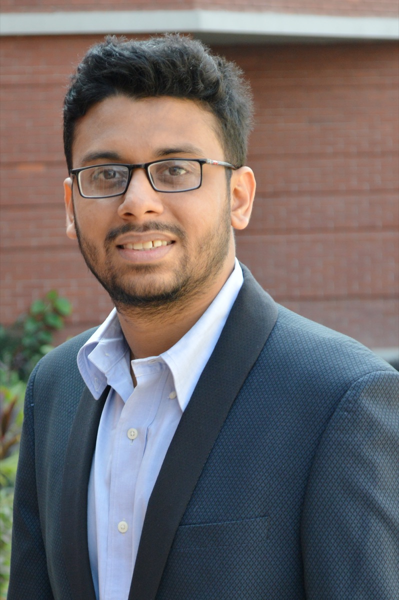
Saad Mohammad Abrar
Postdoctoral Scholar, UC Santa Barbara
Saad Mohammad Abrar is a postdoctoral scholar at the University of California, Santa Barbara. He earned his M.S. and Ph.D. in Computer Science from the University of Maryland, where his research focused on evaluating whether mobility and behavioral data — and the models built from them — are reliable, fair, and valid for high-stakes public decision-making.

Houpu Li
Ph.D. Student, Geography, UC Santa Barbara
Houpu Li is a Ph.D. student in Geography at UC Santa Barbara. He holds a Master's in Regional Science from Cornell University. His research focuses on quantitative urban spatial data analysis.

Fiona Liang
Undergraduate Student, Sociology and Geography, UC Santa Barbara
Fiona Liang is an undergraduate student at University of California, Santa Barbara studying sociology and geography. Her research interests center on the relationship between space and human activity, particularly on how race informs geographic processes such as through segregation and gentrification. She is excited to contribute to the Urban Data Research Lab's work examining these critical issues.

Tessa Niu
Undergraduate Student, Geography (GIS) and Economics, UC Santa Barbara
I am a second-year student at the University of California, Santa Barbara, originally from the Bay Area. I am passionate about spatial data, urban history, and planning. I plan to pursue a career in the transportation field to create safer, more efficient, and connected communities.

Wendy Zhu
Undergraduate Student, Geography (GIS) and Statistics & Data Science, UC Santa Barbara
Wendy Zhu is a third-year undergraduate at UCSB, double majoring in Geography with a GIS emphasis and in Statistics and Data Science. She is particularly interested in human geography, including agroecology, active transportation, and housing. Growing up in a multicultural environment, she often compares Western-dominated geographic theories with Eastern contexts, questioning their applicability, comparability, and universality. By combining her statistical skills with her geographical training, she aims to explore how “big data” is embedded within social science contexts.
Past
Moheng Ma, Ari Rousakis, Leah Chen, Charlotte Verity, Youssef Attia, Ben Zaccara, Nada Attia, Nirbhay Narang, Allie Chu, Tony Zong, Su Jeong Jo, Stella Frank, Yucheng Zhang, Michael Cao, Zoe Wang, Tung Chen, Rifqi Maluana, Jessie Fujii, Dhruv Parekh, Xueting Jin, Kanjii Fateema, Emilia Lam